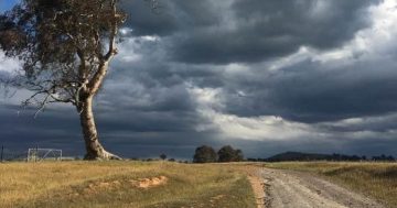
 The Bureau of Meteorology (BoM) has released its national outlook for summer, with no drought-breaking rain in sight and a long hot summer forecast.
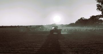
Head of Long-range Forecasts at BoM, Andrew Watkins said the climate outlook showed a high likelihood of warmer than average days and nights for most of the country with rainfall likely to be below average for large parts of the nation’s east.
“The key culprit for our current and expected conditions is one of the strongest positive Indian Ocean Dipole (IOD) events on record,” Dr Watkins said.
“A positive IOD means we have cooler than average water pooling off Indonesia, and this means we see less rain-bearing weather systems, and warmer than average temperatures for large parts of the country,” he said.
“The positive IOD means we’re also expecting a delayed onset for the northern monsoon, one of the key drivers for tropical rainfall during the summer months.”
He said the Bureau was expecting the onset of the northern monsoon by mid-summer, which should see the odds for closer to average rainfall increasing from January and into February.”
Dr Watkins said that only the coastal areas of Western Australia, stretching from the Midwest to the Kimberley, showed increased odds of wetter than average conditions.
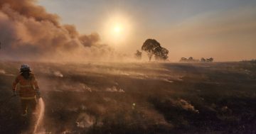
“We’ve already seen significant bushfire activity during spring, and the outlook for drier and warmer than average conditions will maintain that heightened risk over the coming months,” he said.
“This outlook also means the risk of heatwaves is increased, so it’s important the community stays up to date with the latest information and advice from authorities and the Bureau’s heatwave forecasts and warnings.”
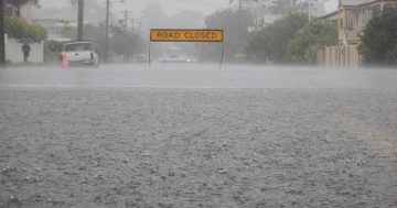
He said that even with a drier than average outlook, localised flooding would remain a risk under particular meteorological conditions such as thunderstorms, and communities in the north needed to be prepared at this time of year for tropical cyclones.