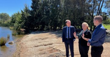
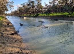
 The Department of Environment and Water (DEW) has released new maps on a dedicated webpage for the River Murray whose flows are currently the highest in almost 50 years.
The Department said the new website also includes FAQs to aim and address community questions and concerns.
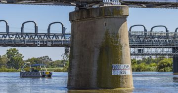
It said the River Murray was experiencing high flows from up-river into South Australia with flows measured last week (Friday 28 October) as 84 gigalitres (GL) a day with a forecast it expected to increase in the week ahead to around 91 GL/day.
The Department estimates the river will peak at about 135 GL/day in early December.
“It is important to note that this is a conservative estimate, as it does not account for any future rainfall that may fall across large areas of the basin, including during the coming week,” the DEW said.
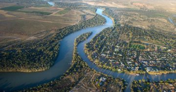
“Communities along the river may begin to see impacts to properties and infrastructure over the coming weeks and months, particularly in the shack areas,” it said.
“It is likely this will be the highest flow to come across the South Australian border since the run of high flows experienced in the early to mid-1970s, which peaked at 182 gigalitres per day in 1974.”
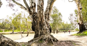
The DEW said the high flows would bring a spark of life to hundreds of thousands of hectares of floodplain vegetation that “hasn’t been inundated for decades”.
It said technical officers from the public service were currently in the Riverland working with council and landowners to review levee banks and take necessary action to ensure their integrity before the peak flows arrive.
It has developed a range of mapping tools to support flood planning and responses, i.e:
* Inundation mapping for major towns – to help assess the possible extent of inundation for different flow scenarios for major towns along the River Murray;
* Flood awareness mapping – view potential areas inundated at different flow levels;
* River Murray infrastructure mapping – structures on the River Murray floodplain that could now be submerged due to high flows in the river;
* River Murray inundation mapping – to help assess the possible extent of inundation for different flow scenarios.
The Department’s Frequently Asked Questions are also available on line as well as River Safety for visitors to do their research on places being visited to so they can be prepared.
The Department’s online information and advice can be accessed on its River Murray High Flows website at this PS News link.