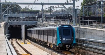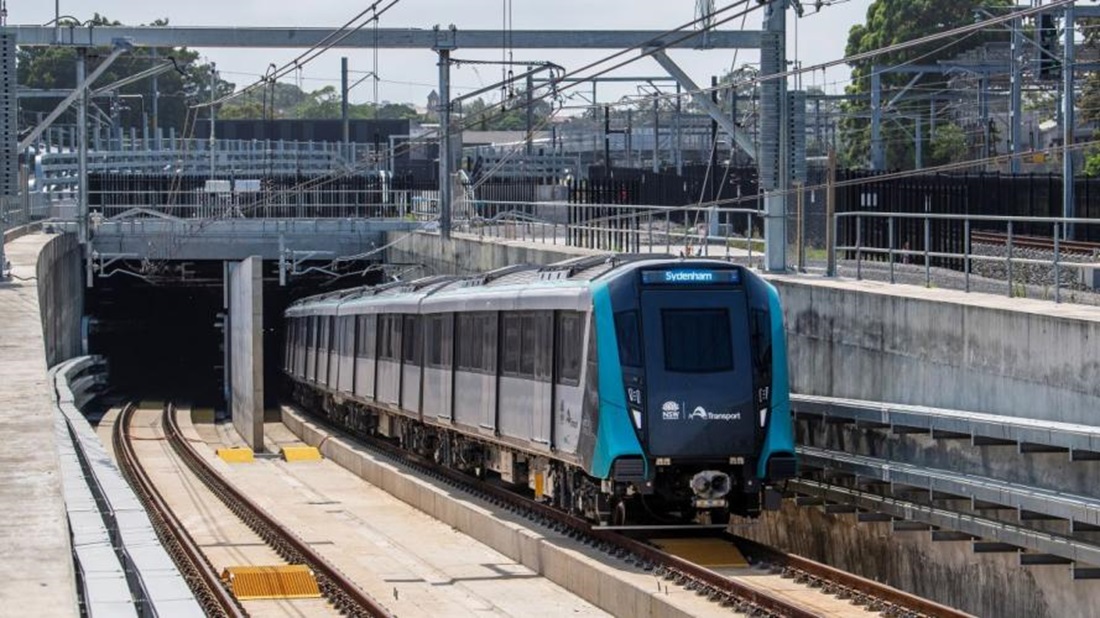
A Metro train undergoing testing. Photo: Sydney Metro.
After several months of testing, the extension to the Sydney City Metro is scheduled to open to passenger services on Sunday, 4 August.
Since June the line has been running without passengers on a full-service timetable to ensure the trains, lines, tunnels and station infrastructure are all operational.
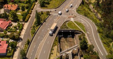
Currently running from Tallawong in the city’s northwest through the Hills District and Macquarie Park areas to Chatswood, the extension to the line will take it through the Lower North Shore, under the harbour and through the city south as far as Sydenham. Another extension scheduled to open in late 2025 or early 2026 will see the line turn west towards Bankstown.
The new extension will mean Hills District passengers will be able to catch the train all the way to the city and beyond without having to change to the heavy-rail North Shore line at Chatswood.
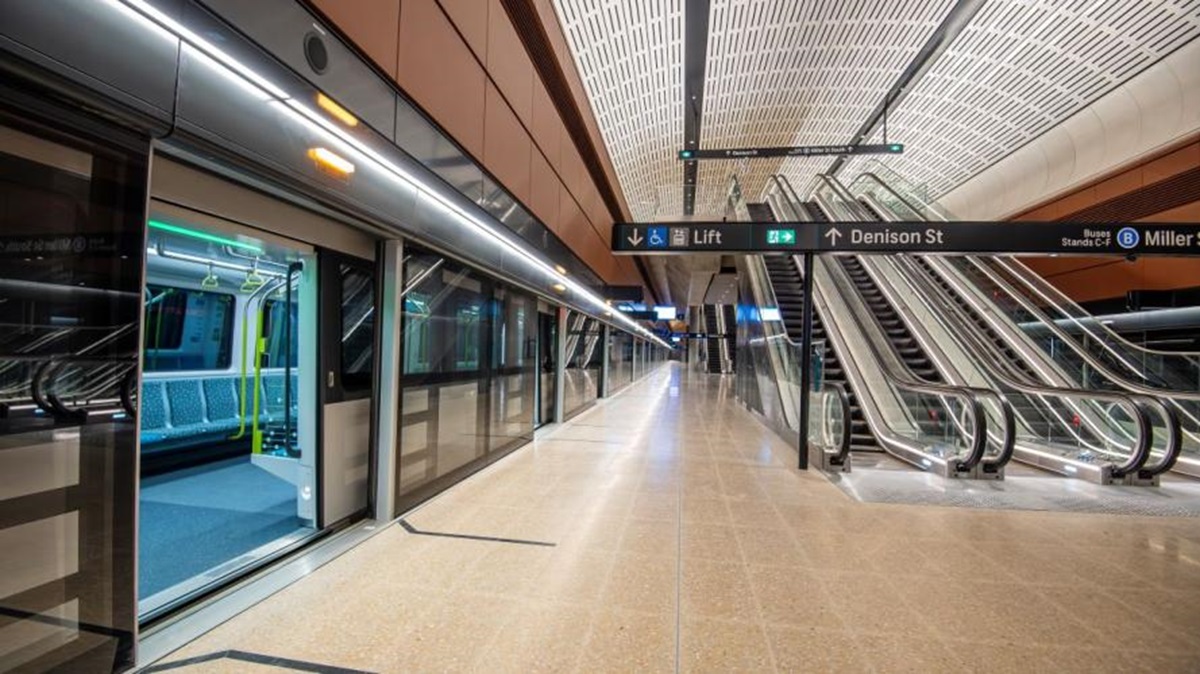
Victoria Cross Metro station at North Sydney. Photo: Sydney Metro.
From Chatswood, the Metro will have new underground stations at Crows Nest, Victoria Cross in North Sydney, Barangaroo, Martin Place and Gadigal in the city, Central, Waterloo and Sydenham.
The State Government says typical journey times on the new line will include Martin Place to Waterloo in six minutes, Sydenham to Macquarie University in 33 minutes, Central to Chatswood in 15 minutes and Victoria Cross to Barangaroo in just three minutes.
For the next stage of the extension, the current T3 heavy-rail line will be closed for an estimated 12-month period while the Metro infrastructure is constructed. During the closure, there will be alternative bus and train services for commuters who use the T3 line.
Currently under construction are future phases of the Sydney Metro network that will see a new line from Westmead through Parramatta, the Olympic Park and Bayside precincts to the city, and a new line from St Marys to the new Western Sydney International Airport at Badgerys Creek.
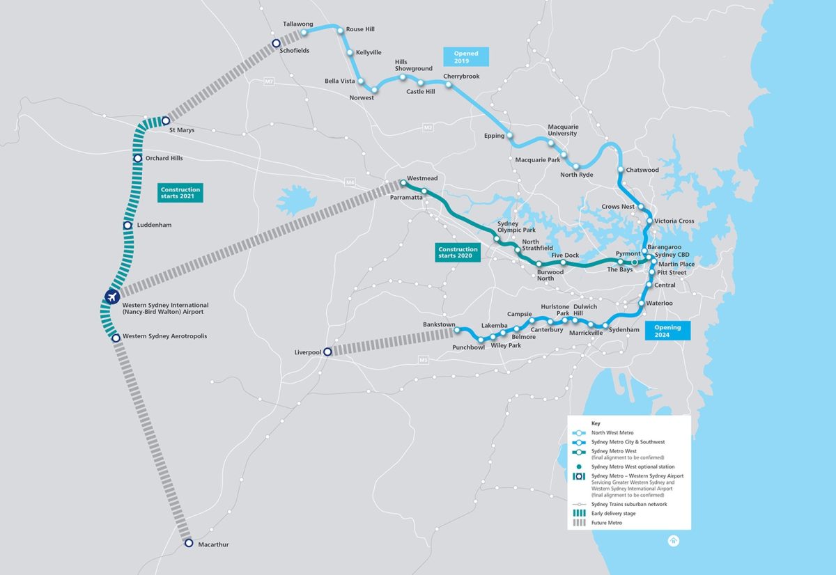
A map of all current and planned Sydney Metro lines. Image: NSW Department of Planning.
Future work includes joining the lines between St Marys and Tallawong, a link from Westmead to the new airport, an extension of the line from Bankstown to Liverpool, and an extension from the new airport through the growing south-west to Macarthur in Campbelltown.
NSW Premier Chris Minns said the new Metro lines were part of a city-shaping public transport project that would support more housing.
“If we are going to address the housing crisis, we have to build homes near public transport like this and that’s exactly what we’re doing,” he said.
Transport Minister Jo Haylen said about 1000 people had been involved in simulated scenarios, including playing the role of customers, to ensure the Metro was ready to welcome commuters on board from August.
“It is an exciting time for this great city as Metro is introduced in the heart of the CBD, to the west and greater west, contributing to the biggest transformation in public transport Sydney has ever seen.”