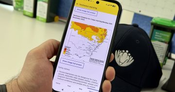
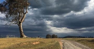
 The Bureau of Meteorology has released a new climate outlook tool aimed at helping Australian farmers having to deal with potentially extreme climate conditions in their local areas.
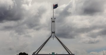
Minister for Agriculture and Northern Australia, David Littleproud said the Bureau had recognised the need of farmers for more exact information in the face of unseasonal and extreme weather events.
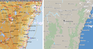
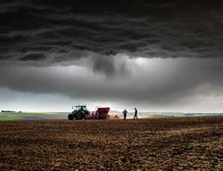
“The new tool will allow people to drill down and see what may be in store for their local area,” Mr Littleproud said.
“The user-friendly maps show the likelihood of conditions such as unusually hot or cold temperatures, or unusually high or low rainfall in the weeks, months and seasons ahead for specific, highly localised areas,” he said.
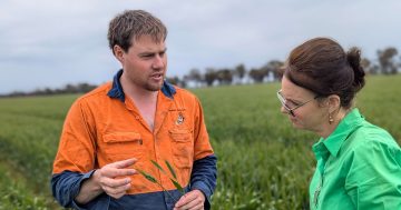
Mr Littleproud said the maps had been tried and tested with farmers across Australia “who have found them helpful for anticipating climate conditions”.
“They say the outlook maps will help them make decisions around purchasing and applying fertiliser, crop planning and stocking rates because they will have a better understanding of likely conditions in the coming months,” he said.
Minister for the Environment, Sussan Ley said the Bureau’s outlook tool had been informed by inputs from those on the ground.
“This new tool draws on the latest science and technology and aims to build climate resilience and support better-informed decision-making,” Ms Ley said.
“We worked closely with farmers to gauge what information, in addition to what the Bureau already provides, would be useful,” she said.
The tool is part of the Forewarned is Forearmed project, a partnership between the Government, research and industry sectors, which is funded through the Rural Research and Development For Profit Program.
The new climate outlook tool can be accessed on the Bureau’s website at this PS News link.