 New breakthrough mapping technology has been developed by the Great Barrier Reef Marine Park Authority and the University of Queensland, providing new levels of understanding of the Great Barrier Reef.
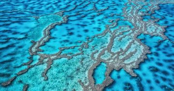
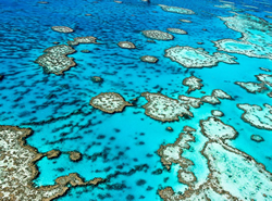
Minister for the Environment, Sussan Ley said the new technology combined satellite imagery and underwater mapping to create the most detailed biological terrain maps of the Reef to date.
“Thousands of individual satellite images are producing a high-resolution picture of the offshore Reef, making how we look at individual reefs easier, clearer and more accurate,” Ms Ley said.
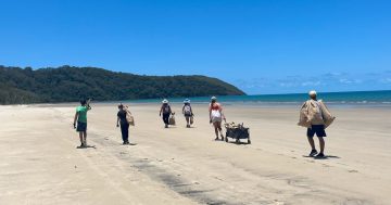
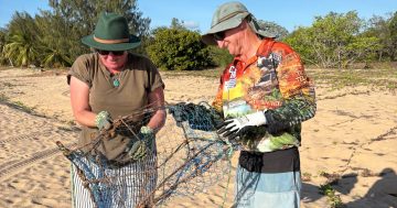
“The Great Barrier Reef Marine Park Authority is already employing the data to prioritise crown-of-thorns starfish control, with future applications including improved understanding of the ways individual reefs connect, their exposure to major weather events and new baseline data on the Reef’s diverse range of marine habitat,” she said.
Ms Ley said the technology would help the Authority target Reef strategies with greater accuracy and directly assist it in planning permit assessments and on-water management.
Special Envoy for the Great Barrier Reef, Warren Entsch said the new mapping technology would be an important tool in targeting the extensive on-water programs to protect the Reef.
“This information enables us to better understand habitat types on some of these remote reefs and the ways cyclones and physical damage from predatory starfish may impact resilience,” Mr Entsch said.