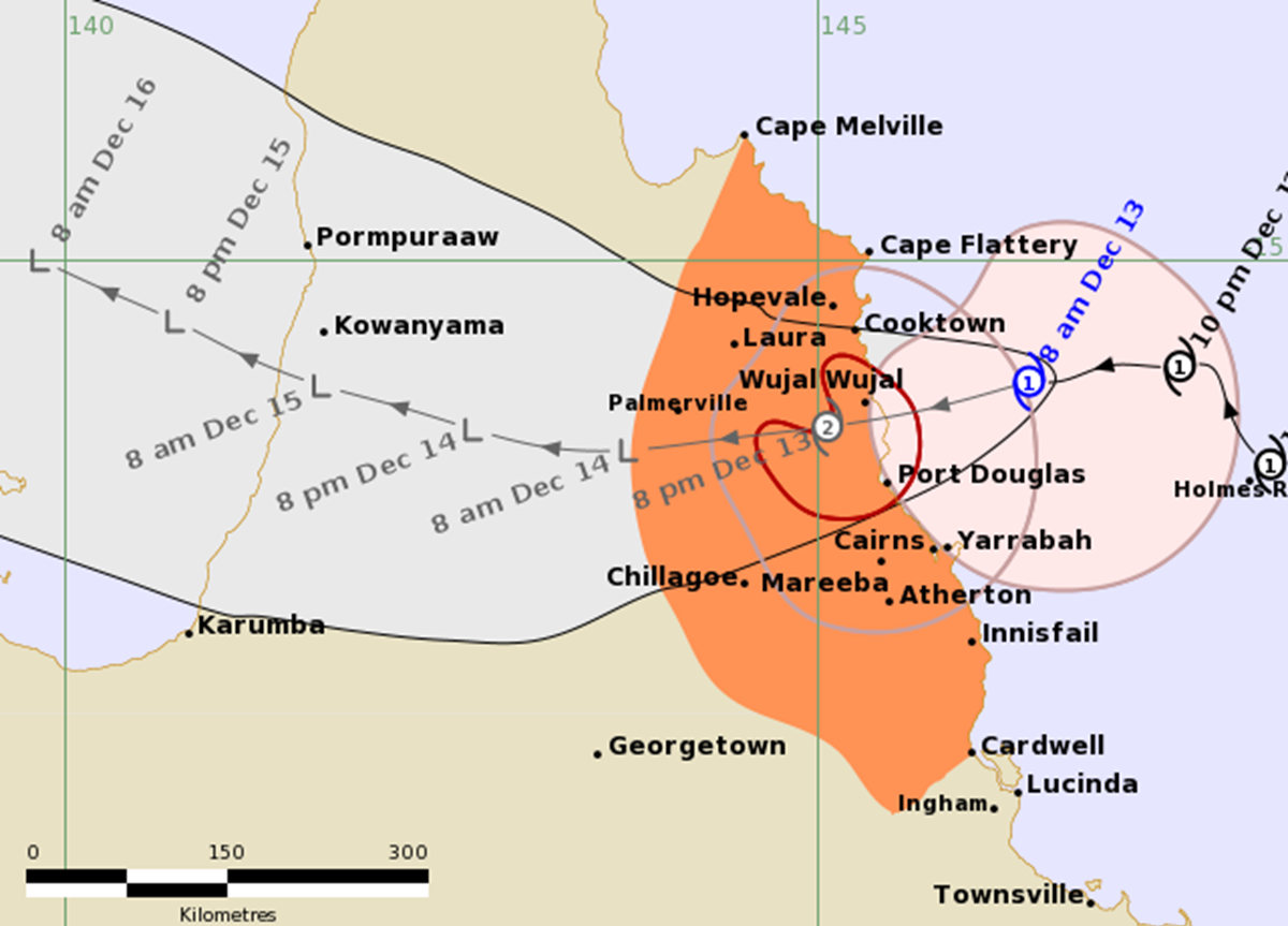
The predicted track of Tropical Cyclone Jasper will make landfall near Cape Tribulation at about 7 pm Wednesday. Image: BOM
The first cyclone of the season is expected to make landfall on the Far North Queensland (FNQ) coast later this afternoon.
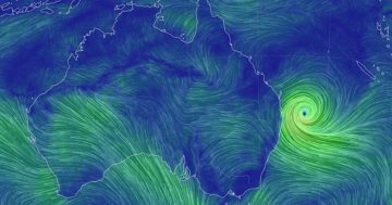
Tropical Cyclone Jasper has weaved a lazy path across the Coral Sea towards the Queensland coast over the past week, but its path and eventual landfall point have been difficult to predict due to the ‘steering influence’ effects of a large high-pressure system in the Tasman Sea.
But overnight, it became apparent the cyclone would likely cross the coast on the late afternoon or early evening of Wednesday, midway between Hopevale and Cairns in the vicinity of Cape Tribulation.
The cyclone was downgraded to a Category 1 storm overnight with winds of between 85 and 120 km/h and was moving southwest at just 12 km/h, but the Bureau of Meteorology expects it to pick up and become a Category 2 storm before it makes landfall.
In a 7 am Wednesday update, the BOM said the areas expected to be affected are between Cape Melville and Cardwell, including Cairns and Innisfail, and extending inland to include the Atherton Tablelands, Chillagoe and Palmerville.
The southern side of the storm is expected to see the highest wind speeds, but it should quickly weaken as it moves inland and become a tropical depression as it pushes deeper into Cape York.
State Emergency Services (SES) personnel usually stationed across FNQ have converged on Cairns to help shore up the protection of key infrastructure such as the Cairns Hospital. SES units from Southeast Queensland have also flown north to prepare for the expected recovery effort.
The BOM says there is a chance the cyclone will redevelop over the Gulf of Carpentaria after crossing the Cape and potentially impact the Northern Territory early next week.


