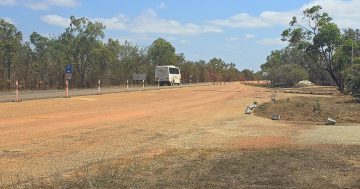
The Northern Australia Fire Information service is “absolutely vital” for landholders attempting fight fires in remote parts of Cape York, especially in undulating, inaccessible country. Photo: Cape York Weekly.
An online fire mapping tool described as “absolutely vital” and a “godsend” should be a long-term funding priority for the Federal Government, according to concerned Cape York landholders who say a lack of interest from Canberra is putting lives and infrastructure at risk.
The Northern Australia Fire Information (NAFI) website and app provide property owners and land managers with maps of fire activity based on satellite information showing hotspots – recently burning fires – and burn scars, which identify areas of burnt country.
The information is used year-round, but becomes especially critical during bushfire season as landholders attempt to keep up to date with backburning and unplanned fires, something that has become increasingly difficult due to the government cutting funding to NAFI in recent years.
Lakeland landholder Joy Marriott said she believed it was imperative the government took funding the service seriously on the back of more and more country on Cape York being “locked up” on the back of cultural heritage and conservation efforts.
“With more and more land going back to cultural heritage use and conservation, it’s becoming more and more vital,” she said.
“We can’t access a lot of those spots now, so we need to be able to tell how the fire’s going to know when it’s going to end up on your boundary.
“We’ve always relied on it (NAFI), but now there’s more and more land we can’t access to monitor fires – if they want to lock it up, this is a non-invasive way to be looking at things.”
NAFI is supported by the Department of Climate Change, Energy, the Environment and Water – overseen by Minister Tanya Plibersek – and despite the government acknowledging the service as a “vital resource”, it has only received minimal funding for the 2024-25 financial year, the majority of which was auspiced through a $588,000 disaster resilience grant.
NAFI service manager Dr Peter Jacklyn said an unprecedented increase in users over the past few years had put pressure on the website that was exacerbating the funding situation.
“A big issue we have with running NAFI is the federal funding for the website itself, which is only year to year,” he said.
“Our current funding ends on [30 June] next year, creating problems for planning and staff retention, and we spend a lot of time chasing funding; the problem here seems to be that the Federal Government have never budgeted for a web service like NAFI that is like a [Bureau of Meteorology] site for rural and remote area fires across much of Australia, so our federal funding tends to come late in the day from other programs, and usually only for a year.
“The other issue we’ve faced is a massive increase in usage over the last year or so; last year, we had double the number of users and triple the number of web map requests than we did before, and those user numbers have stayed high this year – we’ve had to upgrade our systems to deal with this load, but more needs to be done.”

NAFI service manager Dr Peter Jacklyn says current year-on-year funding commitments from the Federal Government are creating issues around planning and staff retention for the organisation. Photo: Supplied.
Ms Marriott said some of the hotspot information was out by about 20 kilometres with several preseason burns in the Lakeland region around April and May, a discrepancy that could cost a life or significant infrastructure losses.
“Some of the spot fires were 20km off, that’s how inaccurate it was,” she said.
“In our accessible country, you can’t afford for it to be even a kilometre out.
“It’s (NAFI) a godsend and we rely heavily on it, and we didn’t realise how heavily we relied on it until we relied on it when it wasn’t functioning properly.”
Another Cape York landholder, who spoke on the condition of anonymity, said the government needed to support the NAFI team with funding appropriate to meeting user demand.
“It’s an absolutely vital service for us up here, because a lot of the time it’s just us, the neighbours and the [Rural Fire Service Queensland] vollies trying to fight these fires when they happen,” they said.
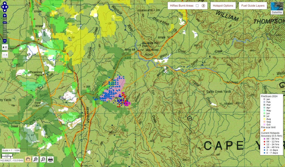
A screenshot of the NAFI website showing active fire and burn scar information, which Cape York landholders say is “absolutely vital” to fire management and the protection of life and infrastructure. Photo: Northern Australia Fire Information website.
“If the government isn’t going to support remote areas with anything else, the least they can do is write a cheque to help NAFI keep improving the service.”
Dr Jacklyn said NAFI was now seeking four-year funding arrangements with the government to improve software capability and added while he understood the user desire for faster hotspot information to aid firefighting efforts, that could be some time off due to technology constraints.
“What is much more difficult to improve is the accuracy and frequency of the hotspots and this is probably what a lot of people want,” he explained.
“This is because we don’t produce the hotspots – they come from a US/European constellation of large earth observing satellites, and from the Australian agencies that then use the satellite images to create the hotspot locations, which are sent to the NAFI website.
“The accuracy of these hotspots can vary for a whole lot of reasons, like the type of satellite, the weather conditions, even solar activity, and improving this accuracy is largely out of our hands; we are investigating alternatives to these satellites for fire detection, but it won’t happen quickly.”
Federal Member for Leichhardt Warren Entsch said he was concerned the efficacy of a service like NAFI was beholden to the funding whims of the government and committed to raising the issue with Minister Plibersek.
“It worries me immensely that the minister sees this as something she can cut,” he told Cape York Weekly.
“It’s been useful for people at the pointy end of managing fire in our region, and I think it’s something we should be challenging.
“It’s going to be even more of a concern given the dry season we’ve had this year; in Cape York, most of those fires come out of the national parks – this is a frontline resource that helps people deal with the fires before they become a catastrophe.
“I would have thought the investment needed to have it running at the level it needs to would be relatively modest compared to the impact not having it available.”
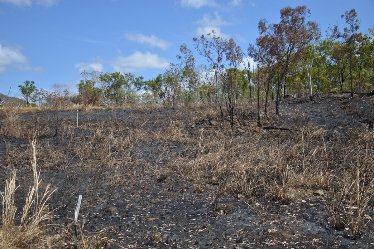
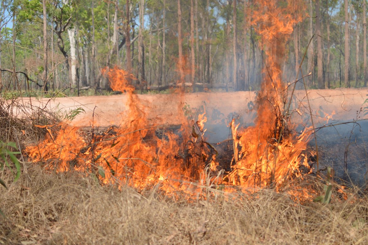
Cape York landholders say the Federal Government needs to increase its funding commitment to the Northern Australia Fire Information service, which provides up-to-date information used in firefighting and fire management efforts across the region. Photo: Cape York Weekly.
Original Article published by Lyndon Keane on Cape York Weekly.


